


Following the release of the Government ‘s UK Plan to tackle roadside nitrogen dioxide (NO2) levels, Derby was identified as one of five authorities (outside London) required to implement an action plan to improve air quality. Alongside Birmingham, Leeds, Nottingham and Southampton, Derby was included in this ‘first wave’ because national modelling suggested locations existed on the city’s transport network where NO2 concentrations would exceed prescribed limits by 2020, if no action was taken. These prescribed limits were determined by EU legislation in 2008 and have subsequently been adopted into UK legislation.
A ministerial direction, issued by Government in December 2017, required the Council to deliver a plan that would ensure any predicted exceedances in NO2 concentrations are addressed in the shortest possible time.
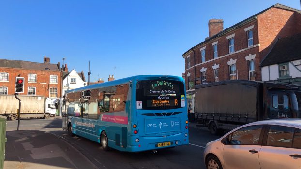
The Council’s further localised refinement of the national modelling process, has confirmed that Derby has only one location on its network where NO2 concentration exceedances are predicted in 2020 if no action is taken. This is on Stafford Street, which forms part of the inner ring road around Derby city centre.
Location – Stafford Street, nears to it’s junction with Friar Gate
Predicted Level of Roadside NO2 in 2020 if we take no action – 49.3µg/m3
Government has provided a national budget of £255 million to support local authorities in implementing plans to address such exceedances and deliver compliance with the EU limit values in the shortest possible time.